Where Is This Place
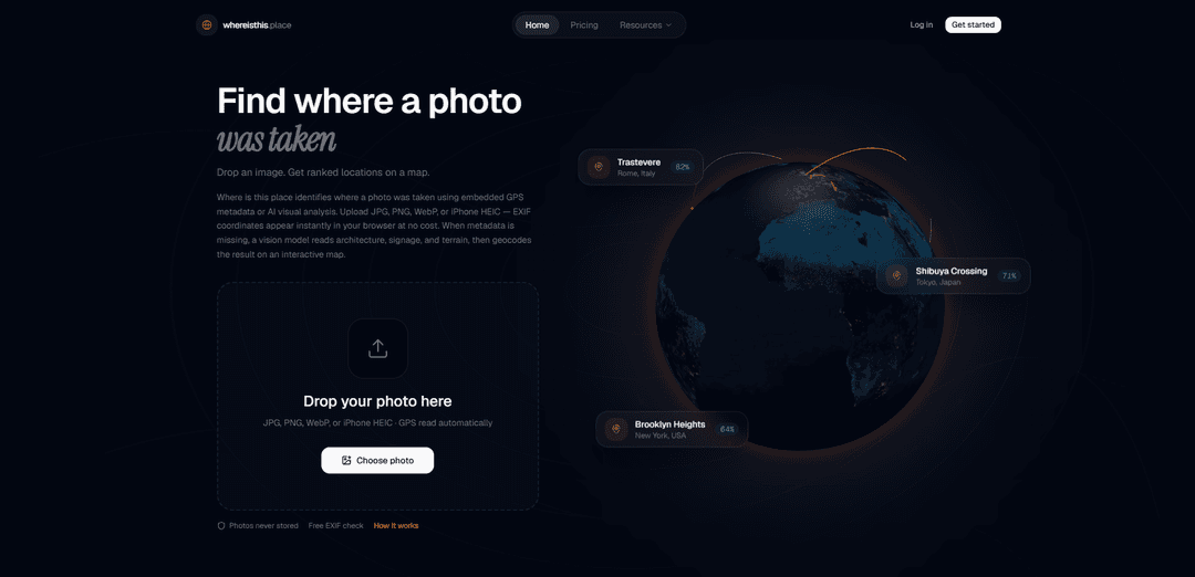
Where Is This Place is an AI-powered photo locator that analyzes uploaded images (and available metadata) to suggest likely real-world locations, landmarks, and supporting clues to answer “where was this photo taken?”.
https://www.whereisthis.place/?utm_source=aipure
Product Information
Updated:Aug 4, 2026
What is Where Is This Place
Where Is This Place is an AI-powered photo geolocation tool that identifies where a picture was taken. Upload any image, and the AI analyzes landmarks, architecture, terrain, vegetation, text, and metadata to estimate its location, then returns the most likely match with an interactive map and supporting context. It's useful for travelers, photographers, journalists, researchers, and anyone curious about where a photo was taken.
Key Features of Where Is This Place
Where Is This Place is an AI-powered photo geolocation tool that helps identify where a picture was taken by analyzing visible clues (landmarks, signage, architecture, roads, skylines, terrain, vegetation) and any available image metadata (such as EXIF GPS, timestamps, and device info). It returns multiple candidate locations with confidence scores and supporting evidence so users can verify results in mapping tools like Google Maps/Street View—especially useful when photos are screenshots, reposts, cropped, or otherwise missing original GPS data.
Photo-to-location AI analysis: Uploads an image and analyzes visual signals—landmarks, storefronts, monuments, natural features, road geometry, skyline patterns—to suggest where the photo was taken.
Metadata (EXIF) parsing when available: Surfaces embedded GPS coordinates and other metadata such as timestamps and device details, and uses them to strengthen or cross-check location hypotheses.
Multiple location suggestions with confidence: Provides 3–5 candidate matches with confidence scores and reasoning, helping users treat results as leads and validate independently.
Evidence-driven explanations: Highlights the specific clues used (e.g., language on signs, architecture style, vegetation, storefront names) so users can understand and verify the proposed location.
Works even when GPS data is missing: Designed for images that have lost metadata (social media reposts, screenshots, cropped photos), relying primarily on what is visible in-frame.
Verification workflow with maps: Encourages cross-checking results using map search and Street View by comparing orientation, nearby landmarks, road curves, and building spacing.
Use Cases of Where Is This Place
Travel photo organization and journaling: Identify and tag locations for old or unlabelled travel photos, then confirm the spot on a map for albums, blogs, or personal archives.
OSINT and investigative research (public places): Support open-source investigations by generating location leads from publicly shared images, with a verification-first approach using independent map checks.
Education and geography learning: Teach students how to infer location from environmental and cultural cues (signage, architecture, landscape) and verify hypotheses with maps.
Media and content verification: Help journalists and fact-checkers assess where an image likely originated by comparing AI suggestions against authoritative references and map imagery.
Real estate and site documentation: Assist teams in identifying or confirming where reference photos were taken (e.g., project sites), especially when files are missing geotags.
Trip planning and landmark discovery: Discover the name and location of a landmark, viewpoint, or storefront from a saved image, then open the area in maps for navigation and exploration.
Pros
Useful even without GPS/EXIF data by relying on visible scene evidence
Provides multiple candidates with confidence and reasoning, making verification easier
Works well for screenshots/reposts/cropped images where metadata is commonly stripped
Cons
Results can be incomplete or wrong; independent verification is required for important decisions
Accuracy depends heavily on image quality and distinctive, recognizable features
Visually similar locations (e.g., generic streetscapes) can cause ambiguous or misleading matches
How to Use Where Is This Place
1. Open the tool: Go to the Where Is This Place website (e.g., whereisthisplace.net / WhereIsThisPlace.io, depending on the version you’re using).
2. Choose your input type: Decide whether you want to locate a place from (a) a photo upload, (b) a pasted image URL/link, or (c) a text description of the place.
3. Upload a photo (best results): Drag-and-drop or select an image that contains strong geographic clues (landmarks, storefronts, road signs, transit stations, skylines, coastlines, mountains, distinctive architecture).
4. (Optional) Use a link instead of uploading: If supported, paste a direct link to the image so the tool can analyze it without a local upload.
5. (Optional) Try a text-only query: Enter a natural-language description such as “that Japanese city with lots of cherry blossoms” to get candidate places and context.
6. Start the analysis: Submit the photo or query and wait while the system analyzes visible clues and (when available) embedded metadata (e.g., GPS/EXIF).
7. Review the primary location suggestion: Check the returned most-likely place (often including region/city) and any confidence indicator provided.
8. Inspect the supporting evidence: Read the tool’s explanation and clue list (e.g., detected landmarks, signage/language, architecture style, terrain/vegetation, coastlines) to understand why it matched that location.
9. Verify on a map: Open the suggested location in a map view and compare the photo against satellite imagery and/or Street View-style ground imagery to confirm alignment (buildings, road layout, skyline, shoreline, etc.).
10. Iterate if the result looks wrong: If the match seems off, try a different crop (include more signage/landmarks), use a higher-resolution image, upload additional photos from the same scene, or refine your text description with more concrete details.
11. Use best-practice photo choices: Prefer wide outdoor scenes and distinctive features; avoid blurry close-ups, blank walls, food-only shots, or heavily cropped images, which are harder to geolocate.
12. Organize findings (if available): Use any built-in investigation/organization features to group related photos, keep notes, and track verification steps in one place.
Where Is This Place FAQs
WhereIsThisPlace.io is an AI photo location tool that helps identify where a photo was taken by analyzing visual clues in the image and returning suggested locations and map context.
Popular Articles

Vosko AI: Localize and Dub Videos for Global Audiences
Oct 15, 2026

Atoms: A Multi-Agent AI Platform That Transforms Ideas into Launch-Ready Products
Oct 13, 2026

Nano Banana SBTI: What It Is, How It Works, and How to Use It in 2026
Apr 15, 2026

Atoms Review — The AI Product Builder Redefining Digital Creation in 2026
Apr 10, 2026
Latest AI Tools Similar to Where Is This Place

altcheckerai
AltCheckerAI is an AI-powered tool that automatically optimizes image alt text to improve website SEO and accessibility through intelligent recommendations.
IMG Processing
IMG Processing is a powerful API service that enables fast and reliable image processing capabilities including uploading, transforming, and watermarking through simple integration.
ImageKit.io
ImageKit.io is a comprehensive media management and delivery platform that provides real-time image and video optimization, processing APIs, and Digital Asset Management (DAM) solutions for delivering high-quality visual experiences on websites and apps.
FLORA
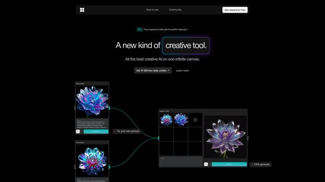
FLORA is an innovative AI-powered creative tool that combines multiple AI capabilities on an infinite canvas to enable personalized plant identification, creative design, and interactive botanical assistance.
Popular AI Tools Like Where Is This Place
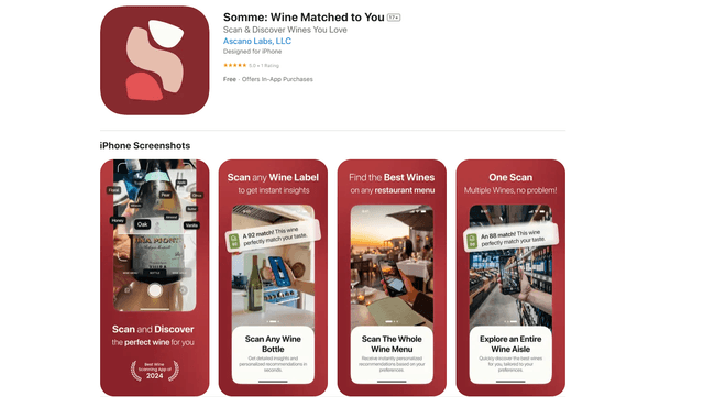
Somme: Wine Matched to You
FreemiumAI Image Recognition
Somme is an AI-powered personal sommelier app that combines advanced image recognition, personalized recommendations, and comprehensive wine insights to help users discover and enjoy wines that match their unique taste preferences.
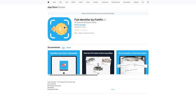
FishPic
FishPic is an AI-powered fish identification app that instantly recognizes fish species from photos while providing comprehensive information about edibility, regulations, and recipes.
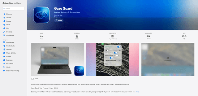
Gaze Guard
Gaze Guard is a privacy-focused menu bar utility for Mac that automatically blurs your screen content when you look away or when someone is shoulder surfing, using advanced face tracking technology.
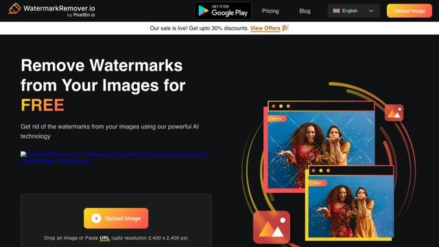
WatermarkRemover.io
WatermarkRemover.io is an AI-powered online tool that automatically removes watermarks from images for free while maintaining image quality.